A Map of the Parish of Bitton 1842

Page Details
Section: Articles =>
Subjects: Radical Bristol
Posted: Modified:

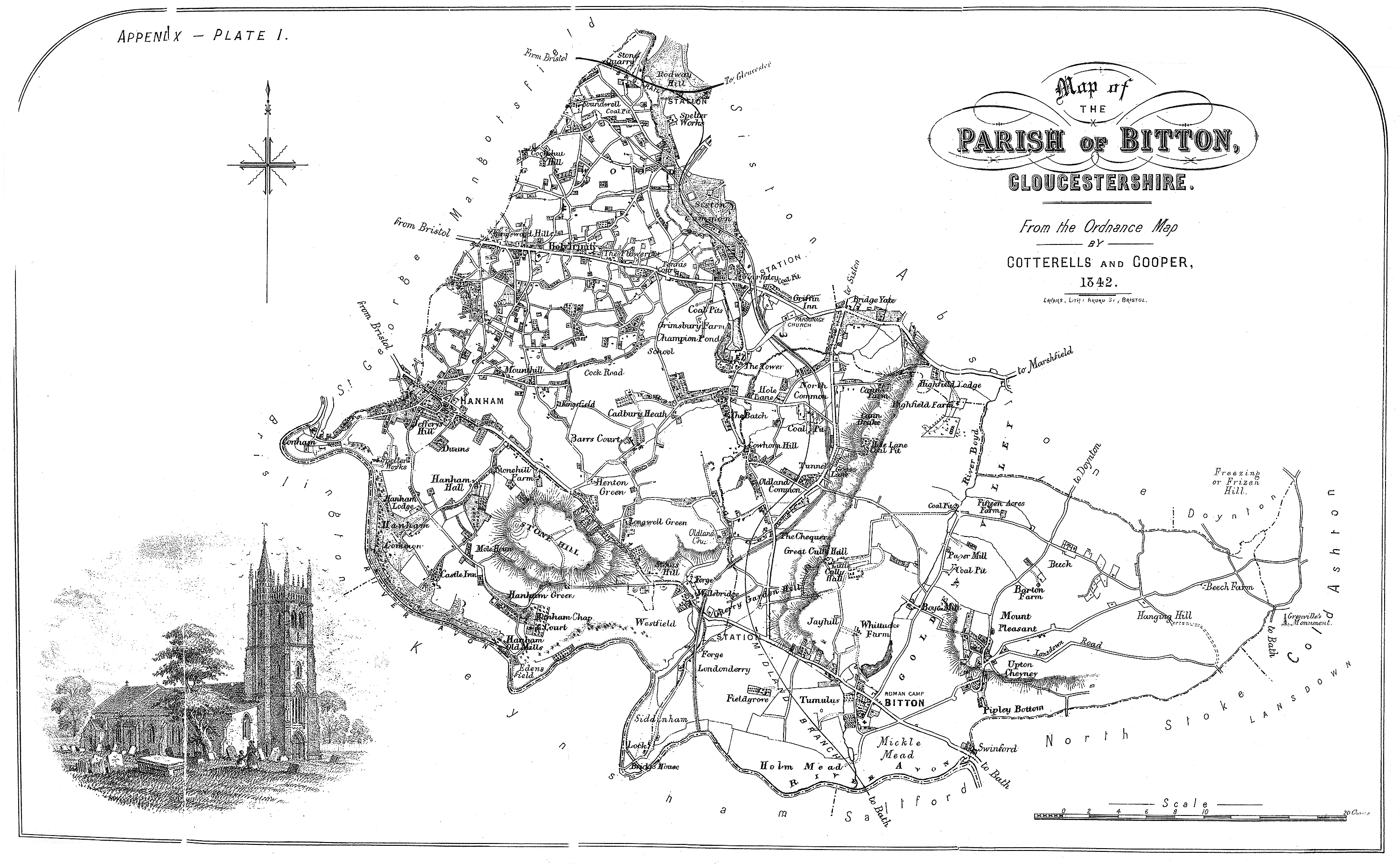
This is a map of the Parish of Bitton from 1842. Cock Road can be see just to the right of Hanham. Note that the original is marked 1842 however, the map shows the Midland Branch Line (now the Bristol-Bath cycle track) which was not opened until 1869. See the Avon Valley Railway website for more details.

The Parish of Bitton 1842
Plate I from The History of The Parish of Bitton in the County of Glousceter. Rev. H. T. Ellacombe M.A. F.S.A. Exeter: Privately Printed By Willaim Pollard. North Street. 1881.

A full version of The History of The Parish of Bitton in the County of Glousceter. by Rev. H. T. Ellacombe can be found on Archive.org.

No Comments

Leave a Reply

Your email address will not be published. Required fields are marked *

You may use these HTML tags and attributes: <a href="" title=""> <abbr title=""> <acronym title=""> <b> <blockquote cite=""> <cite> <code> <del datetime=""> <em> <i> <q cite=""> <s> <strike> <strong>

This site uses Akismet to reduce spam. Learn how your comment data is processed.

Pin It on Pinterest

Share This